UPDATE: I published the post below on 12/16/12, and in the meantime, New Jersey Governor Chris Christie issued an executive order approving the new FEMA maps- therefore requiring all municipalities to follow the guidelines until further notice. Â I am happy to answer your questions (to the best of my ability) regarding these changes.
FEMA recently modified the flood zone designations and building height requirements for our area. These determinations were made prior to Sandy, yet are relevant as home owners look to renovate or rebuild their low lying structures.
Prior to the changes, it was rare to see a “V” (high velocity) zone classification in Avalon or Stone Harbor (typically limited to the inlet/ocean). Now, much of the bay area falls under the “V” classification, too.
Click on the interactive FEMA Website and enter your shore property address.  The results will display the proposed flood zone and building height requirements.
Quote from The Press of Atlantic City, Sunday 12/16/12:
“While these maps were released as information only, with final maps expected sometime this summer, municipalities can adopt the data into their zoning codes, said Ryan Pietramali, risk analysis branch chief for FEMA, on Friday. That could mean homeowners whose houses suffered damage during Sandy that totaled at least 50 percent of the building’s value may be forced to rebuild to new building codes, such as raising houses and rebuilding on driven piling”.
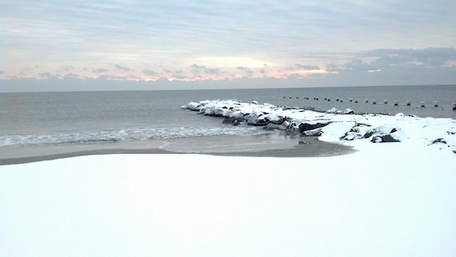


Monday Weather
Snow earlier (enough to coat the ground and hide the icy patches as I walked!), then steady rain (not enough to rinse the salt off my car), a few breaks of sunshine, and now clouds. Â The temperatures are improving finally, too.