Without tractor grooming…or foot traffic…the wind has the freedom to make patterns in the sand.
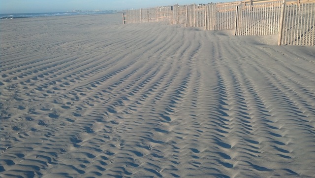
Without tractor grooming…or foot traffic…the wind has the freedom to make patterns in the sand.
 Mortgage loans are classified as conventional (less than $417,000) and jumbo (loans above $417,000). Â In the past, interest rates for jumbo loans were higher than those for conventional mortgages.
Now, lenders are advertising rates 1/4 to 1/2 percent lower for jumbo loans.
Another nice boost for the shore real estate market.
If you would like to talk to an area mortgage representative regarding a purchase or re-finance, I am happy to provide recommendations.
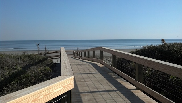
Darker in the morning (catching EVERY sunrise on my daily beach walk) and earlier sunsets. Â Not a fan of the shorter days…but loving the views!

 There are a total of 79 properties sale pending (under contract) in Avalon and  Stone Harbor, NJ, with settlements scheduled in the near future.
The properties range in price from $168,000 (an efficiency apartment on Third Avenue in Stone Harbor), to $6,995,000 (an ocean front tear down in the south end of Avalon). The median asking price is $1,085,000.
There are 46 properties sale pending in Avalon; 33 in Stone Harbor. Â Single family homes represent 47 of the 79 total, with a median list price of $1,595,000. Â There are 23 condo/townhouse units pending, with a median list price of $669,000. Â The remaining 9 are a mix of multi- family and vacant lots.
An active market!
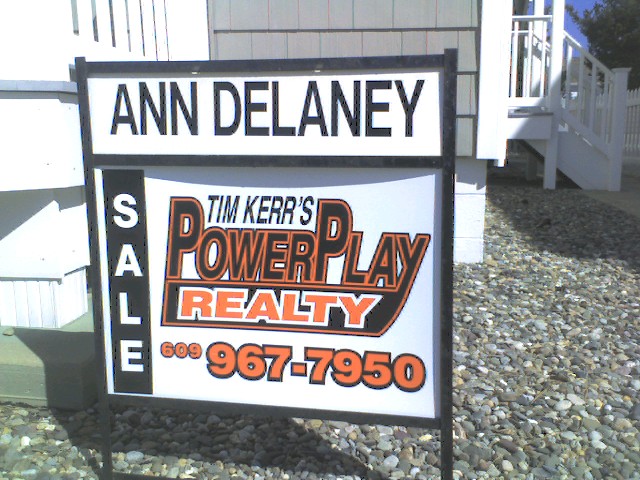
Please let me know if I can help with your real estate plans: Â ann@anndelaney.com
I appreciate your business and referrals.
A perfect September. Expectations equally as high for October 🙂

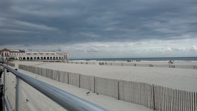
The off season is an ideal time to visit our beach neighbors. Â Yesterday, a leisurely bike ride along the Ocean City boardwalk…and a stop at Manco’s Pizza.
Interesting perspective of the ocean front homes (many new) along the way. Â Like here, the tear down trend continues.
 Question: “When you live at the shore…where do you go on vacation?”
As much as we love and appreciate our surroundings, it’s still our place of work. Â So after a busy summer season, it’s time to look forward to a vacation.
Not surprising- we are drawn to other beach/island locations. Â With specific conditions: not too crowded, a nice beach, not too commercial (wait- that sounds like Avalon and Stone Harbor!)
We have traveled to many beautiful desinations over the years- with a week on a low key Caribbean island in our near future 😉
Look for our new Sale/Rental book in the Power Play Realty distribution boxes located around the island (including one directly in front of our office).
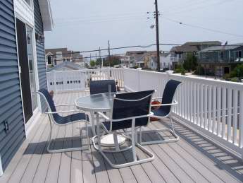 Glad to see that many property owners have secured or removed deck furniture as their use declines. Â An early fall storm is not uncommon. And last October, Sandy forced shore owners to rush down or hire someone to batten down the hatches.
Reminders:
1) Close and LOCK all windows (especially the casement style- they can vibrate open in the wind, and break)
2) Disconnect the hose from the outside faucet (I often see faucets left on by mistake; disconnect the hose, and make sure sure nozzle is off)
3) Secure the outside shower door and trash cans
Options- 241 44th Street, Avalon
This house offers options- a terrific spot to build a new home (approximately 3500 square feet)…or use the current well maintained home.
Great location! Â 44th Street is a beach path street (a beautiful walk through the dune path to a wide, guarded beach). Â Low key, residential neighborhood. Â Yet still within walking/biking distance to recreation, restaurants, and downtown shops. Â 4 bedrooms, 2 full baths, and a huge screened in porch. Gas heat and central air. Â 50′ X 110′ lot. Â $915,000 furnished.
For more details, click on the MLS Link
Please share with friends looking to purchase in Avalon, NJ. Â I appreciate your interest and referrals! Â ann@anndelaney.com