 As of April 1st, Avalon, Stone Harbor and surrounding communities will participate in “Single Stream Recycling“.
This means that all acceptable recyclable items can be placed in ONE container. Â Realistically, most shore homes will still need several recycling containers (especially rental properties) to accommodate the items. Â Containers are limited to a maximum size of 32 gallons, and may not exceed 75 pounds.
The list of permitted items has been expanded, too. Â Please provide detailed instructions to your tenants/guests.
For more information, visit the web site of the Cape May County Municipal Utilities Authority


More FEMA info
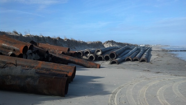
The Department of Environmental Protection (DEP) has filed documents to make the proposed (and then mandated by Governor Christie in January) flood elevations permanent. Â Read the full article HERE Â from the Press of Atlantic City. Â An interesting statement in the article: Â The order also allows “wet flood proofing”, which is for buildings that will structurally withstand flooding, but cannot be raised, such as high rises and row homes in highly urbanized areas. Â Â
From talking to local officials, the enforcement of the higher elevations is not a surprise. Â Shore towns expect to adopt the elevation codes, yet will continue to negotiate the wide spread V-Zone classification.
You can enter the address of your shore house on the interactive FEMA web site to view the required base flood elevation.  This information is important for property owners planning to either build new, or renovate more than 50% of the assessed value of the structure.  The Press article stated that the construction must be the base elevation, plus 1 foot per state law.